
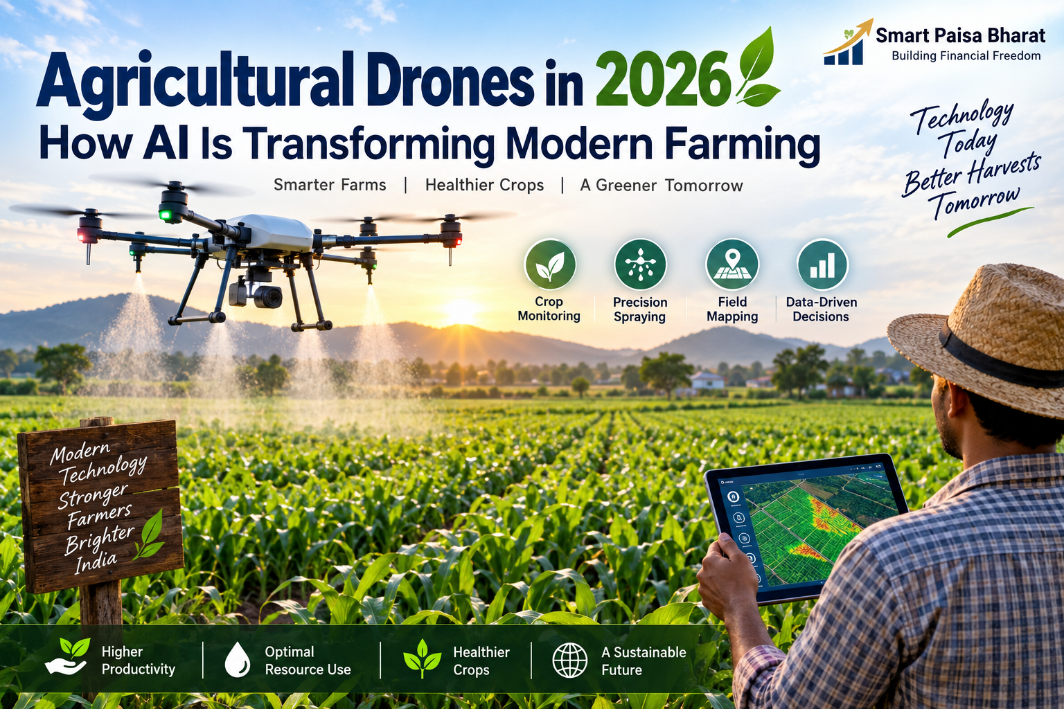
Agricultural Drones in 2026: How AI Is Transforming Farming
How AI-Powered Drones Are Transforming Agriculture
Farming is changing from the ground up — and increasingly, from the sky down.
Walk through a modern farm today and you may notice something that would have looked unusual a few years ago: a compact drone flying above the crops, collecting information, mapping fields or applying agricultural inputs with remarkable precision.
These machines are no longer simply futuristic gadgets. Agricultural drones are becoming part of a wider precision farming ecosystem that combines artificial intelligence, sensors, satellite imagery, remote sensing and digital farm data.
The real opportunity is not just about putting a drone into the sky. It is about helping farmers understand what is happening in the field earlier, make better decisions and use resources more carefully.
🌱 Why Agricultural Drones Matter in 2026
Modern farming faces a complicated mix of challenges. Weather patterns can change quickly, labour availability can vary, water is becoming more valuable and crop problems are not always visible when they first appear.
This is where drones can provide another layer of information.
A drone can cover parts of a farm much faster than a person walking through every row. Depending on the equipment and software being used, it can capture aerial images, identify variations across a field, create maps and support targeted agricultural operations.
Instead of treating an entire field as one uniform area, precision agriculture aims to understand that different sections may need different attention.
🚁 What Makes an Agricultural Drone Different?
A consumer drone used for photography and an agricultural drone may look similar from a distance, but their purposes are very different.
A farming drone can be combined with specialised cameras, sensors, positioning systems, mapping software and agricultural equipment.
- High-resolution cameras can capture detailed views of crops and fields.
- Multispectral or specialised imaging can reveal information that ordinary photographs may not show clearly.
- GPS and mapping systems help create accurate field maps.
- AI-based software can assist in analysing large amounts of agricultural data.
- Spraying systems can support targeted application of approved agricultural inputs.
The combination is what makes the technology interesting. The drone becomes a data-collection and field-operation tool rather than simply a flying camera.
🧠 How AI and Drones Work Together
A drone can collect enormous amounts of visual information, but collecting images is only the beginning.
Artificial intelligence can help analyse those images and identify patterns that may deserve a farmer’s attention.
For example, software may help identify areas showing signs of crop stress, unusual vegetation patterns or possible problems. The farmer can then inspect those areas more closely instead of spending the same amount of time checking every part of the field.
This creates a simple but powerful cycle:
Collect data → analyse information → identify priority areas → take action → monitor the result.
That approach is at the heart of precision agriculture.
🌾 7 Important Uses of Drones in Agriculture
1. Crop Health Monitoring
One of the most practical applications of agricultural drones is crop monitoring.
Aerial images can provide farmers with a different perspective of their fields. When combined with specialised sensors and analytical software, the data may help identify areas affected by stress, uneven growth or other changes.
Early information matters because agricultural problems can become considerably harder to manage when they are discovered too late.
2. Precision Spraying
Drone-based spraying is one of the applications receiving significant attention in Indian agriculture.
Instead of relying only on conventional ground-based methods, drones can be used for certain spraying operations where conditions, equipment and regulations permit.
The objective is not simply to spray faster. Precision application is about improving coverage, reaching difficult areas and using inputs more efficiently.
Farmers should always follow the applicable product label, agricultural recommendations and aviation requirements when using drones for spraying.
3. Field Mapping
Before making better decisions, farmers need better information about their land.
Drones can create detailed aerial maps that help visualise field boundaries, crop patterns, drainage areas and variations across a farm.
These maps can become useful digital records for planning future agricultural activities.
4. Identifying Crop Stress
A crop does not always announce a problem with obvious visual symptoms.
Changes in plant colour, growth patterns and field conditions can sometimes appear before a problem becomes easy to spot from the ground.
Specialised imaging combined with software analysis can help highlight areas that deserve further investigation.
The important point is that drone technology should support human decision-making rather than replace practical field knowledge.
5. Supporting Water Management
Water management is becoming increasingly important for agriculture.
Aerial information can help farmers understand differences across a field and identify areas that may require closer inspection.
When drone data is combined with soil sensors, weather information and irrigation systems, it can become part of a broader precision-water-management strategy.
6. Pest and Disease Detection
Pests and crop diseases can spread before farmers realise the scale of the problem.
AI-based agricultural systems are increasingly being developed to assist with early identification and advisory services.
Drones can complement these systems by providing aerial information about crop conditions across larger areas.
The strongest results are likely to come from combining multiple sources of information rather than depending on a single technology.
7. Monitoring After Treatment
Technology becomes more useful when it can help measure what happened after an intervention.
For example, a farmer may use aerial imagery before and after a particular field operation to observe changes and identify areas that still require attention.
This turns farming into a more measurable process instead of relying entirely on guesswork.
🇮🇳 Why India Is Paying Attention to Agri-Drones
India’s agricultural technology ecosystem is expanding beyond traditional farm machinery.
Government programmes and agricultural research institutions are increasingly combining drones with artificial intelligence, remote sensing, sensors, GIS, satellite data and other digital technologies.
The objective is broader than simply increasing the number of drones. It is to build a technology-supported farming ecosystem that can improve decision-making, resource efficiency and access to modern agricultural services.
India has also promoted agricultural drone demonstrations and support mechanisms under agricultural mechanisation programmes, while initiatives such as Namo Drone Didi have connected drone services with women Self-Help Groups.
This creates an interesting possibility for rural entrepreneurship: instead of every farmer having to purchase and maintain expensive technology individually, drone services can potentially be provided through organised service models.
👩🌾 Namo Drone Didi and the Rural Service Opportunity
One of the notable developments in India’s drone story is the effort to involve women Self-Help Groups in agricultural drone services.
The idea is straightforward: trained operators can provide drone-based agricultural services to farmers while creating an additional technology-enabled rural business opportunity.
This model is particularly interesting because agricultural technology does not necessarily have to mean individual ownership.
In many situations, access to a useful service can matter more than owning the machine itself.
💡 The Biggest Benefits of Agricultural Drones
- Faster field inspection: Large areas can be surveyed from the air.
- Better visibility: Aerial imagery provides a different view of crop conditions.
- Targeted action: Specific areas can receive closer attention.
- Potential resource savings: Precision operations may reduce unnecessary application of inputs.
- Improved farm records: Digital maps and imagery can support long-term planning.
- Reduced physical burden: Certain operations can reduce manual exposure to difficult field conditions.
- Data-driven decisions: Farmers can combine drone information with weather, soil and crop data.
⚠️ Agricultural Drones Are Not a Magic Solution
It is easy to become excited about new technology, but drones also have limitations.
The cost of equipment, batteries, maintenance, software and trained operators can be significant. Weather conditions can affect flight operations. Data is useful only when it is interpreted correctly, and spraying operations require appropriate equipment, training and compliance.
There is also a learning curve.
A drone can produce beautiful aerial images, but a photograph alone does not automatically tell a farmer what action should be taken.
The technology works best when drone data, agronomic knowledge and practical farmer experience are used together.
🔐 What About Safety and Regulation?
Agricultural drone operations are not simply a matter of buying a drone and flying it over a field.
Operators need to understand applicable aviation rules, registration or certification requirements, operating restrictions, safety procedures and other relevant regulations.
For agricultural spraying, there are additional considerations involving the product being applied, application method, operator training and environmental safety.
Anyone planning commercial or agricultural drone operations should check the latest requirements from the relevant Indian authorities before beginning operations.
🌍 Drones Are Only One Part of Smart Farming
The future of agriculture is unlikely to belong to one technology alone.
Imagine a farm where:
- a weather system monitors local conditions,
- soil sensors measure moisture,
- satellite imagery tracks large-scale changes,
- a drone surveys selected sections of the farm,
- AI analyses the collected information, and
- the farmer receives a simple recommendation on a mobile device.
That is much closer to the idea of smart farming.
The drone is one piece of a much larger digital puzzle.
🔮 What Could Agricultural Drones Look Like in the Future?
The next stage of agricultural drone technology may focus less on impressive flight demonstrations and more on practical farm outcomes.
We could see stronger integration between drones, AI models, satellite imagery, farm-management platforms, weather systems and connected sensors.
Automation may also improve, allowing drones to collect more consistent data while software handles much of the analysis.
But the most important development may be simpler than all of that: making useful technology affordable and accessible to ordinary farmers.
If advanced agricultural tools remain available only to large commercial farms, their overall impact will be limited. The bigger opportunity is to build service models that allow small and medium-sized farmers to access precision technology without having to carry the full ownership cost.
📈 The Bigger Picture: From Farming by Experience to Farming by Information
Farmers have always relied on experience. Weather, soil, crop behaviour and local knowledge have been observed for generations.
Technology does not make that knowledge irrelevant.
Instead, the goal is to add another layer of information.
A farmer who knows a field for twenty years can combine that experience with aerial imagery, weather data, sensors and AI-assisted analysis. The result can be a more informed decision-making process.
That is where agricultural drones have their greatest potential.
❓ Frequently Asked Questions
What are agricultural drones?
Agricultural drones are unmanned aircraft designed or adapted for farming applications such as crop monitoring, mapping, precision spraying and agricultural data collection.
How does AI help agricultural drones?
AI can help analyse images and other agricultural data, identify patterns and highlight areas that may need further inspection or action.
Are agricultural drones useful for small farmers?
They can be useful, but ownership is not always necessary. Shared services, custom hiring centres and trained service providers can provide farmers access to drone technology without requiring individual ownership.
Can drones spray fertilisers and pesticides?
Some agricultural drones are designed for spraying operations. However, the equipment, agricultural product, operator and operation must comply with applicable safety, agricultural and aviation requirements.
Can drones replace farmers?
No. Drones are tools. They can collect information and perform selected operations, but agricultural decisions still depend on farmers, agronomists, weather conditions, field knowledge and other information.
What is precision agriculture?
Precision agriculture uses data, technology and targeted farm practices to manage crops and resources more efficiently rather than treating every part of a field in exactly the same way.
🌱 Final Thoughts
Agricultural drones are not about replacing the farmer. They are about giving the farmer a better view of the field.
When drones are combined with AI, sensors, satellite imagery and agricultural expertise, they can help turn scattered field information into useful insights.
For India, the opportunity is especially interesting. The country’s agricultural future will not be built by technology alone, but technology can become an important partner in dealing with rising input costs, changing weather conditions, labour challenges and the need to produce more efficiently.
The farm of the future may still look like a farm from the ground. But above it, an entirely new layer of intelligence could be working.
And that is why agricultural drones are becoming one of the most interesting developments in modern farming.
📌 Key Takeaway
Agricultural drones are evolving from simple flying machines into intelligent tools for precision farming, combining aerial data, AI and modern agricultural practices to help farmers make more informed decisions.